

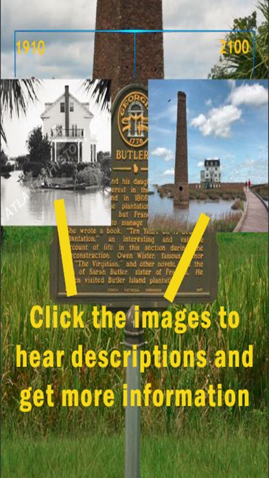

This application uses augmented reality to display digital content onto images of various landscapes in coastal Georgia. It is intended to work with the images provided by the University of Georgia College of Environment + Design and is not functional without these images. The application is meant to illustrate the possible visual changes in places along the coast in the era of climate change.
Directions: When the app opens, point the device camera at the images provided by UGA college of Environment and Design. You can tap the screen to alter the content displayed on the images. Their are also two flood buttons that allow you to display a flood map of the area where the image was taken or to be directed to the Sea-Level Rise Viewer.